
Rare September Weather: Nor'easter May Hit Northeast US
A potential nor'easter is forming off the East Coast, threatening the Northeast and mid-Atlantic with rain, wind, and coastal erosion. Forecast models currently diverge on the storm's intensity and proximity to the shore.
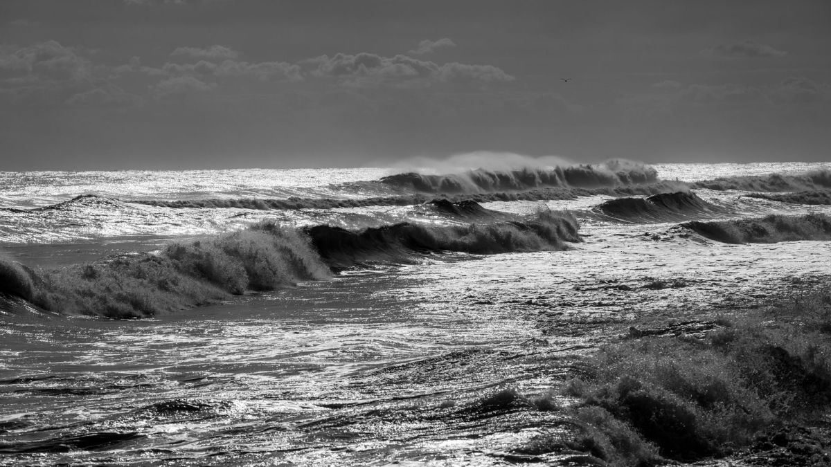
A coastal storm system may develop off the East Coast late this week, potentially bringing disruptive weather to the Northeast and mid-Atlantic regions. According to The Weather Company, the system could bring a combination of high surf, strong winds, rain, and coastal erosion, affecting major areas including New York and Boston. The weather pattern is being driven by an area of high pressure near the Great Lakes and an area of low pressure moving from south to north along the coast, which strengthens winds between the two systems.
Quick summary
- A nor'easter could form off the East Coast late this week, impacting New England and the mid-Atlantic.
- Forecast models diverge: the European model suggests a stronger storm closer to shore, while the GFS model keeps it farther offshore and weaker.
- Potential impacts include several inches of rain, flash flooding, and gusty winds that could cause power outages.
- Coastal flooding is possible, particularly in the lower Chesapeake Bay region, including Norfolk, starting late Tuesday or Wednesday.
- Coastal Massachusetts towns, including Scituate, Ipswich, and Chatham, are urging residents and boat owners to prepare.
- Because the storm is occurring early in the season, precipitation is expected to be rain rather than snow.
What happened
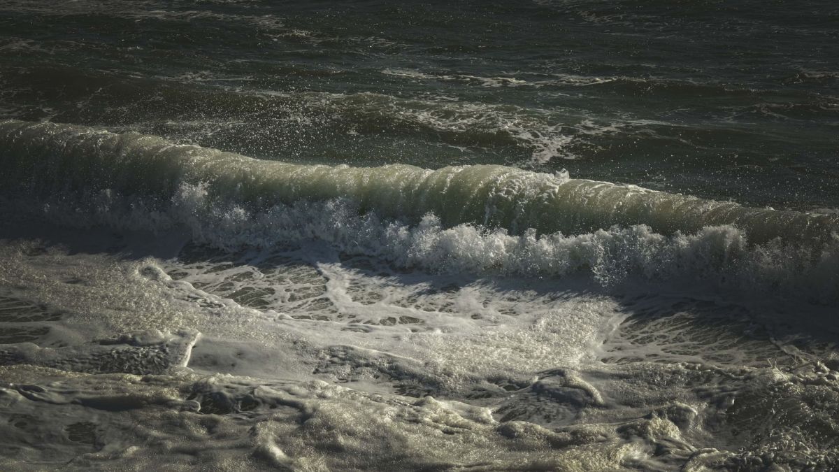
Meteorologists are monitoring a potential nor'easter that could disrupt travel and infrastructure across the Northeast. The Weather Company reports that winds are expected to pick up late Tuesday, with unsettled weather peaking late in the week. The exact severity of the storm depends on the placement of the coastal low; the European model predicts a stronger storm closer to the shore with more rain and beach erosion, while the GFS model suggests a weaker system farther offshore.
The storm could bring several inches of rain to the region, leading to concerns over flash flooding and travel disruptions. Additionally, gusty winds may cause power outages and delays both along the coast and potentially inland. In the lower Chesapeake Bay region, specifically around Norfolk, strong onshore winds could cause widespread to extensive coastal flooding, possibly beginning late Tuesday and increasing by late Wednesday.
How we got here
The current weather setup involves a specific interaction between pressure systems. An area of high pressure is establishing itself near the Great Lakes, while a low-pressure system moves northward along the East Coast. As these two systems draw closer, the winds between them strengthen, creating the conditions necessary for a nor'easter.
While many associate nor'easters with winter snow and ice, the criteria for such a storm are met whenever winds blow from the northeast. Typically, these storms tap into moisture from the Gulf Stream and clash with cold air to produce snow. However, because this system is occurring earlier in the year, the air is warmer, resulting in rain instead of snow.

Who is involved
Local officials in Massachusetts are taking active steps to prepare their communities. In Scituate, Town Manager Jim Boudreau has encouraged residents to tune up generators and secure outdoor items that could be blown away by strong winds. Similarly, officials in the towns of Ipswich and Chatham are advising boat owners to take precautions.
Private citizens are also responding to the warnings. In Scituate, boat owner Mike Gaudette reported pulling his vessel from the water to avoid potential damage, citing a previous experience where swells rocked the marina the prior year.
What the parties and sources say
The Weather Company notes that forecast models have been changing frequently with each new run, making it difficult to determine the exact strength of the winds. They emphasize that the placement of the coastal low is the deciding factor for the level of impact the region will experience.
Local leadership in Massachusetts is emphasizing immediate action. Jim Boudreau stated, "We're telling people, hey, it's a good time to get your generators tuned up, make sure they're running. If you've got things that will blow around, put them away." Boat owner Mike Gaudette added that he chose to pull his boat out early because he would "rather be safe than sorry."

Explainer
A nor'easter is a meteorological term for a storm where the winds blow from the northeast. This typically happens when a low-pressure system sits off the coast of the Northeastern United States. While these are often associated with heavy winter snowfall due to the interaction between the warm Gulf Stream current and cold continental air, they can occur at other times of the year.
When these storms occur in warmer months, the result is rain rather than snow. The primary threats during a non-winter nor'easter include coastal flooding—caused by onshore winds pushing water toward the land—and heavy rainfall that can lead to flash floods in urban or low-lying areas.
What comes next
Forecasters will continue to monitor the European and GFS models to see if they converge on a single track and intensity. As the week progresses, a clearer picture of the storm's path and the resulting impacts on the Northeast and mid-Atlantic will emerge.
Residents in coastal areas are advised to check weather updates frequently. Boat owners in Massachusetts and other affected regions are encouraged to secure or remove their vessels from the water before the weather peaks late in the week.

Quick questions
What is a nor'easter?
A nor'easter is a storm where winds blow from the northeast, typically caused by a low-pressure system off the coast of the Northeastern U.S.
Why is this storm bringing rain instead of snow?
Because the storm is occurring in September, the air is warmer, preventing the snowfall typically associated with winter nor'easters.
Which areas are most at risk for flooding?
The lower Chesapeake Bay region, including Norfolk, is at risk for widespread to extensive coastal flooding, while other coastal areas face beach erosion.
Sources consulted
- A nor’easter could hit Northeast, including New York, Boston — The Weather Channel
- Coastal Massachusetts towns urge storm preparations — WCVB
- Rare September nor’easter could bring rain, wind and waves to East Coast — The Washington Post
Written with the help of artificial intelligence from the sources above. Found a mistake? Let our editors know.
Read next

Southern California Heat Advisory: Extreme Heat Expected Through October
A prolonged heat wave is hitting Southern California, with extreme heat watches in effect for several counties. Forecasters warn that dangerously hot conditions could persist until mid-October.

Macron and Carney announce closer France-Canada ties amid Trump tensions
French President Emmanuel Macron and Canadian Prime Minister Mark Carney have announced plans to forge closer bilateral ties. The meeting took place on the French territory of Saint-Pierre and Miquelon as Ottawa seeks stronger relations with the European Union amid trade disputes with the United States.

Croatia vs Spain: Nations League preview, lineups and stakes
Croatia host Spain at Stadion Poljud in Split on Tuesday, October 6, in the UEFA Nations League 2026-27 Group A3. Spain arrive with a perfect record and a 41-match unbeaten run, while Croatia look to respond after their heaviest defeat in history.